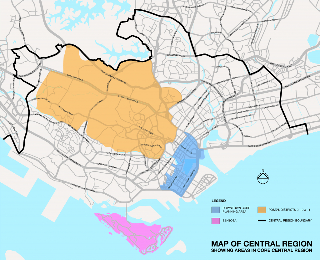
The below map is drawn based on indicative polygon of subzone boundary using the Master Plan 2019 Subzone Boundary (No Sea) data set. Click on point on map of interest to see details regarding Planning Region, Planning Area and Subzone. Notes from URA: For planning purposes, the Urban Redevelopment Authority (URA) divides Singapore into regions, planning areas and subzones. The Planning Regions...
- Home
- New Launches
- Find Property
- Price Check
- Analytics
- Property Market
- Featured
- Yishun
- 义顺
- D27 Landed 有地住宅
- Ang Mo Kio-Bishan
- Ang Mo Kio-Bishan Price Check (Mobile)
- Ang Mo Kio-Bishan HDB Resale Transactions
- Ang Mo Kio-Bishan HDB Resale Transactions (Mobile)
- Ang Mo Kio-Bishan HDB Rental Transactions (Mobile)
- Ang Mo Kio All HDB Blocks
- Ang Mo Kio-Bishan Condo & EC Transactions
- Ang Mo Kio-Bishan Condo & EC Transactions (Mobile)
- Ang Mo Kio-Bishan Condo Rental Transactions (Mobile)
- 宏茂桥 – 碧山
- Kallang/Whampoa
- 加冷黄埔
- Regional
- Services

